
Finding Chanhassen Streets by Address
A street-by-street search in Chanhassen begins with the property, not a name list. Search the full address in Carver County Property Information GIS, select the right parcel if the result shows more than one, and record the parcel ID and legal description. Then open the report-card, tax, plat, and LandShark links offered for that parcel. The structured parcel details give a stable bridge when an old street string, postal city, or later subdivision name differs from the one in a deed or directory.
Most of the city is in Carver County, but 154 acres in eastern Chanhassen are in Hennepin County. That exception is the first check for any street directory result. A property’s postal city can also be Chaska or Excelsior for ZIP 55318 or 55331, even when the municipal address is Chanhassen. Preserve the raw input and each location field instead of silently changing the city name.
- Search Carver GIS by address, property ID, or addition or plat name, then choose the matching parcel.
- Write down the parcel ID, situs address, taxpayer role, legal description, ZIP, postal city, county, and retrieval date.
- Follow the report card, tax summary, and available plat. Compare adjacent parcels through lot, block, and plat fields rather than a map label alone.
- Open LandShark for the recorded-document route. Use an instrument, date, grantor, or grantee only as the record itself supports.
- For a historical household clue, check available telephone directories and newspapers by the address, former place name, and year.
Normalize Chanhassen Street Records
A useful Chanhassen street directory search keeps several fields side by side: the raw address supplied, normalized house number and street name, directional, suffix, unit, ZIP and ZIP+4, postal city, municipality, county, parcel ID, and legal description. The City’s ZIP map identifies 55317, 55318, and 55331. Its map is an orientation source, not a parcel-level proof of boundary or occupancy.
Postal and civic geography can pull in different directions. A City request to USPS in 2025 asked that Chanhassen be accepted for 55318 and 55331, while 55317 remained the default Chanhassen postal label. The City’s 2026 West 94th Street and Kiowa Trail notice also shows why former and current address strings should both be searched. Anchor any apparent match to the parcel and legal description.
- Situs address
- The physical property location used in a property record.
- Taxpayer address
- The mailing address for the taxpayer. It may not be the situs address.
- Parcel ID
- The county identifier that links tax, map, plat, and land-record paths.
- Plat
- A recorded subdivision map that supports lot, block, and legal-description research.
Browse Chanhassen Parcels by Street
Carver County Property Information GIS has confirmed search modes for an address, property ID, and addition or plat name. The Help material says suggestions appear after three characters and recommends selecting a suggestion. A selected record separates Results from Property Links. Results can show taxpayer information, tax parcel details, current-year and prior-year tax data; links can lead to the Property Report Card, available plat, LandShark, and tax summary.
| Carver GIS field | Type | Use in a street search |
|---|---|---|
| Find address or place | Autocomplete text | Starts a mapped parcel search and offers suggestions after three characters. |
| Property ID or parcel ID | Text | Connects an address result to the county parcel identifier. |
| Addition or plat name | Autocomplete text | Finds a subdivision reference when a street has several related parcels. |
| Taxpayer and taxpayer address | Result fields | Shows tax-record information, which may differ from the property location. |
| Lot, block, plat, and acres | Result fields | Supports legal-description comparison and mapped context. |
The GIS Measure tool can calculate mapped distance, area, and perimeter. It should not replace a survey. Carver warns that post-2014 parcel polygons can include right-of-way and easement interests, so map acreage may differ from a deed or a private survey.
The Carver GIS parcel viewer appears below. It is the verified street-search interface for the Chanhassen street directory workflow.
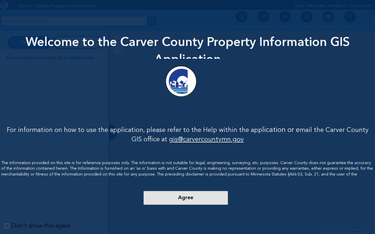
The viewer’s map and linked records help separate a street address from the parcel, taxpayer, and legal-description fields that support it.
Chanhassen Parcel Fields by Street
The public Carver parcel REST layer exposes the field inventory behind address-led map research. It includes owner and taxpayer names, owner and taxpayer mailing-address lines, lot, block, plat name, abbreviated legal description, street components, ZIP, ZIP+4, postal community, acreage, sale date and value, year built, residential-unit count, school and watershed districts, and several property flags.
Those fields are useful precisely because they are not all interchangeable. OWNER_NAME and TAX_NAME can differ. A taxpayer mailing address can differ from the situs address. Sale date and sale value are transfer clues, not a complete chain of title. HOMESTEAD values of Yes, No, and Fractional can help identify a record worth reviewing, but they cannot prove that a named person is the only person at that address.
The parcel-layer field view is shown below. It documents the attributes available for a Chanhassen street directory check when a full assessor search result was unavailable during inspection.
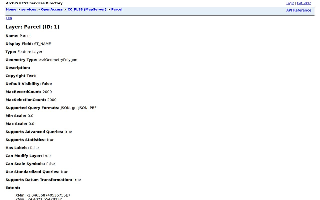
The field list supports a careful record trail from street components to mapped property and related county links without treating an address field as household proof.
Chanhassen Records Searchable by Street
Address-keyed records can explain different parts of one street. The assessment and GIS routes help with parcel and taxpayer context. LandShark holds recorded instruments online from 1988, with an office route for older material. The City’s permit process can add dated project information. Minnesota voter data and directory material have separate rules and should not be combined into an unqualified list of residents.
| Street record | Custodian | What it can show | Access channel |
|---|---|---|---|
| Parcel, tax, and map fields | Carver County | Parcel, taxpayer, legal description, tax context | GIS, assessment, tax office |
| Recorded land documents | Land Records & Vitals | Recorded parties and instruments | LandShark from 1988; counter for older records |
| City permits | Chanhassen Building and Engineering | Permit work and listed project roles | Online permit route or targeted Clerk request |
| Voter information | Minnesota and Carver County | Registration information within statutory limits | Self-lookup or lawful public-list process |
| Telephone and newspaper material | CCHS and MNHS | Dated published address or local context | Repository search, shelf, or request route |
The Carver iasWorld gateway is a property-tax access point, but its live search form was unavailable during the research inspection. Its disclaimer identifies assessment information as tied to the last certified assessment date and says other data can change. When a known historical assessment field cannot be obtained online, a narrow Chapter 13 request or county office contact is the documented fallback.
Carver’s iasWorld entry screen is included below. It records the gateway and its availability limitation rather than claiming unverified owner-search fields.
The unavailable assessor screen is a cue to use the confirmed GIS field inventory and the county’s office or request channel for a targeted question.
Chanhassen Permits Along a Street
Chanhassen Building Inspection issues and inspects building, plumbing, mechanical, fire sprinkler and alarm, and individual sewage-treatment permits. The City says permits must be applied for online as of January 1, 2022. Its engineering permit instructions provide property selection by Address, Parcel Number, or Owner Name, then request permit type, work description, and basic usage when applicable. Permit review may require at least ten working days, and inspections are scheduled by phone.
A permit ties a project to an address and a date. It does not automatically establish who lived there. Label a person exactly as the permit calls them: applicant, owner, contractor, or contact. The City Clerk’s data-request process is the appropriate route for an identified city record not published online. For a broad street question, begin with a block, date range, and record type rather than asking the City to create a new list.
Chanhassen Street County Edge
The city boundary is not a records boundary. Chanhassen’s official history identifies 154 acres in eastern Chanhassen as Hennepin County territory. Carver County’s GIS is the normal first route for a Chanhassen address, yet an address in that edge area needs a county confirmation before a tax, deed, court, or election conclusion is made. A ZIP code, school district, watershed district, or postal-city label cannot make that decision.
Use the parcel map and legal-description path first, then contact the responsible county custodian. For a Chanhassen street directory search, record the county alongside the parcel ID from the start. That one field prevents a detailed record request from being sent to the wrong office and explains why an otherwise plausible Carver search can return nothing.
Chanhassen Deed Trail by Address
Carver County LandShark is the recorded-land-records route. The county says its online documents go back to 1988. Earlier deeds and instruments are available for public viewing at Land Records & Vitals, 600 East 4th Street in Chaska, during weekday office hours. The office archives and makes records available, but it does not provide abstracting, lien searches, or legal advice.
Use a parcel ID, legal description, document type, recording date, or identified party as a search anchor where the system makes it available. A deed image can contain legal description, acknowledgment, tax-statement instructions, or other filing information beyond a simple name-and-date index. Carver’s recording requirements list legal description and acknowledgment among the inputs, which is why the image and the index serve different research jobs.
The LandShark entry page is shown below. The inspected screen is a login route, so post-login field labels and a live deed result are not claimed here.
For material before the online cutoff, the documented path is the county counter, where a researcher asks to view an existing recorded document rather than requesting a completed title chain.
Chanhassen Street History Clues
A past address trail cannot promise a reverse directory for Chanhassen because no official source inspected for this build verified a reverse or criss-cross run. CCHS does list Chanhassen phonebooks for 1984-1996, 2008-2011, 2013-2014, 2018, and 2020-2021. MNHS has a Carver telephone-directory collection dated from 1939 onward, with city and year shelf inventory. White pages can provide dated names, telephone numbers, and street addresses, but missing years and head-of-household bias must be kept visible.
For older strings, compare CCHS plat maps from 1874, 1880, 1898, 1911, 1916, and 1927, plus 1940s-present material, with a current parcel. Newspapers, city minutes, permits, and historic aerials can bridge the phonebook gaps. The village incorporated in 1896 and the city formed in 1967, so a township or village label can be the right historical search term even where a modern map says Chanhassen.
Limits of a Chanhassen Street Directory
A street directory can show a recorded relationship to an address, not a complete household roster. A taxpayer, owner, permit contact, voter record, directory entry, court party, and newspaper subject are different roles. Utility and motor-vehicle address information are not a substitute public list, and protected records can be unavailable. A map can show a parcel boundary while still leaving occupancy, family relationships, and private address data outside the record.
Minnesota Safe at Home gives participants an assigned address and keeps real location data private. Minnesota’s voter information list also has lawful-use and anti-republication rules. Use official custodians and targeted requests when a record is needed for a lawful personal matter, and accept a protected or missing result rather than attempting to infer a private location. Note: The City’s postal-city and county-edge quirks require verification, not assumptions about a person.