
Chanhassen ZIP Code Coverage
City GIS identifies three ZIPs serving Chanhassen: 55317, 55318, and 55331. They are postal-routing areas, not municipal or county borders. The City ZIP map, dated August 19, 2021, shows their boundaries with major roads and lakes, but does not provide a neighborhood crosswalk. Use it for orientation. Then use the parcel map and the legal boundary to determine which record custodian applies.
| ZIP | Areas served in the record trail | Postal facility | Research caution |
|---|---|---|---|
| 55317 | Chanhassen-default postal routing | Chanhassen Post Office | The facility location is not a list of people served by the ZIP. |
| 55318 | A ZIP also used with Chanhassen addresses | Chaska Post Office | A Chaska postal label can accompany a Chanhassen municipality. |
| 55331 | A ZIP also used with Chanhassen addresses | Excelsior Post Office | An Excelsior postal label can accompany a Chanhassen municipality. |
Start with the address as printed. Preserve its ZIP and postal city, then identify the municipal city, county, and parcel ID. For a Chanhassen address, that distinction is especially important because most of the city is in Carver County while 154 eastern acres are in Hennepin County. Neither a postal city nor a ZIP selects the custodian by itself.
Chanhassen ZIP Codes and Postal Names
The three official USPS facility records explain why an address search can return a city name other than Chanhassen. The Chanhassen office serves 55317. The inspected facilities for 55318 and 55331 are in Chaska and Excelsior. In May 2025, the City asked USPS to add Chanhassen as an acceptable city name for 55318 and 55331; the City reported that 55317 was the only ZIP then defaulting to Chanhassen in postal systems. Keep the postal string exactly as validated rather than silently changing it.
The USPS Chanhassen Post Office record identifies the 55317 office at 7730 Laredo Drive.
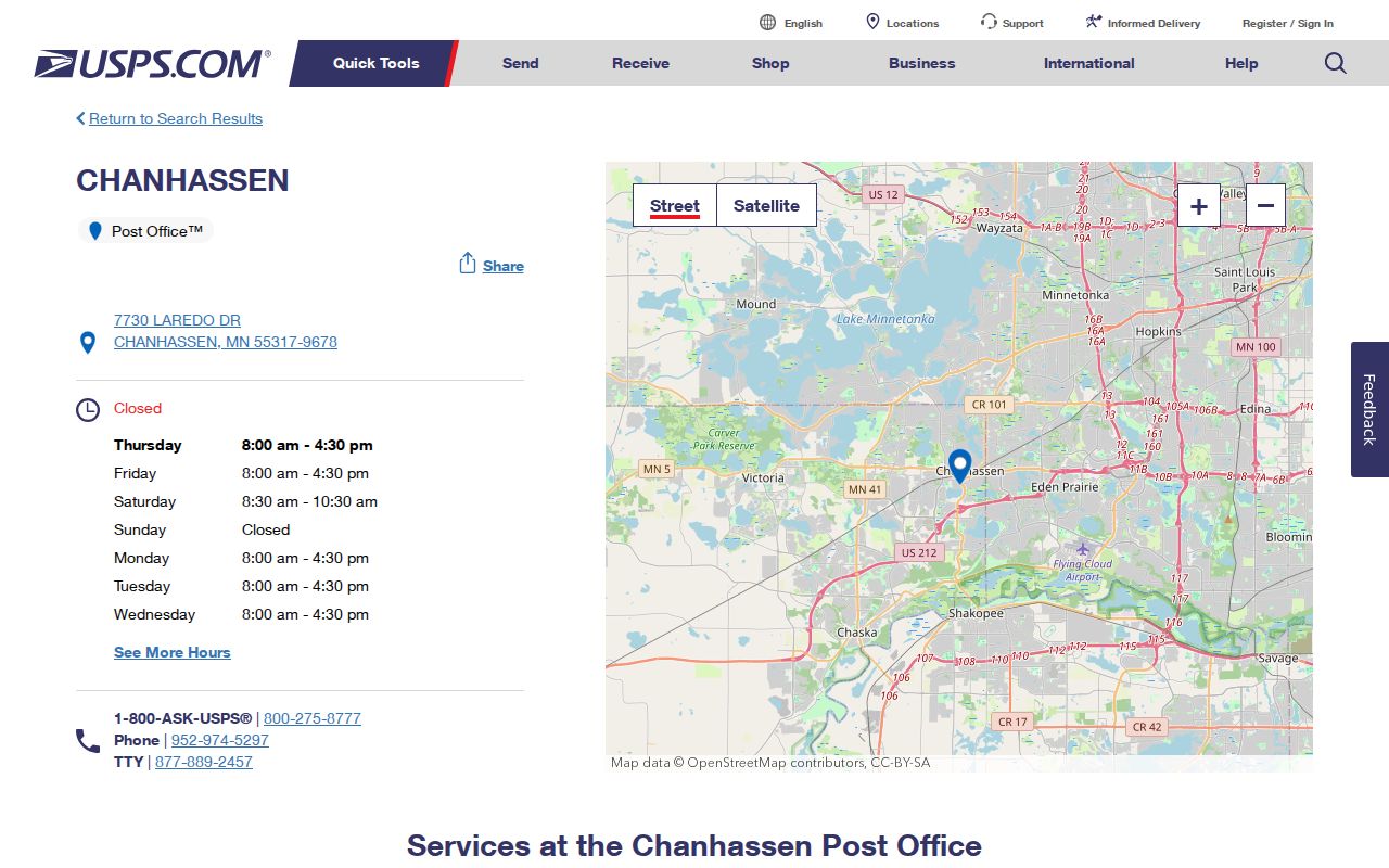
This facility page supports postal-service context for 55317, not an inference about any individual address.
The USPS Chaska Post Office record gives the 55318 facility context.
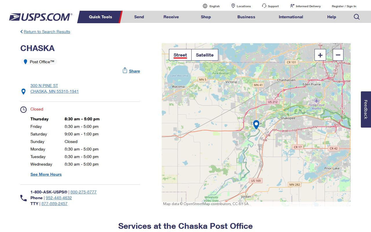
A 55318 postal city may read Chaska even when a parcel is within the City of Chanhassen.
The USPS Excelsior Post Office record gives the 55331 facility context.
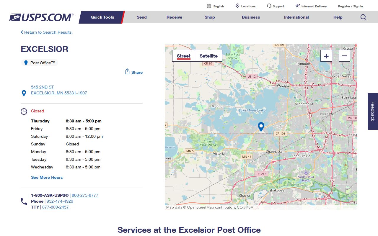
For 55331, verify the parcel, municipal boundary, and county rather than drawing a conclusion from the Excelsior facility name.
Map Chanhassen ZIPs Before Parcel Research
Use the Chanhassen GIS and Maps materials to orient a search, then use the Carver County Property Information GIS for an address, parcel ID, or addition and plat name. The county GIS can return more than one parcel for an address. Select the correct parcel, save its ID and legal description, and retain the retrieval date because assessment information changes.
The parcel trail distinguishes the situs address, the address of the parcel itself, from taxpayer and mailing addresses. Carver's schema also carries ZIP, ZIP+4, postal community, lot, block, plat, and county-code fields. A tax mailing address is not proof of occupancy. A map layer is geographic context, not a list of residents. The county advises that GIS is reference information rather than a legal survey or engineering record, so resolve a boundary question with the responsible custodian rather than map geometry alone.
Chanhassen ZIP Code Search Fields
Official forms may accept a ZIP, but that does not make them ZIP-wide resident lists. MNVotes is a self-lookup tool that can switch between ZIP and county search and then requests identifying address fields. Minnesota's public voter-information list has separate access rules under Minn. Stat. §201.091, including identification and a written lawful-use statement. It cannot be republished as a searchable online list. The City ZIP map also shows geography only, not people.
| Official route | Relevant fields | What it can support | Limit |
|---|---|---|---|
| MNVotes self-lookup | First name, last name, birthday, ZIP or county, and address controls | A person's own registration check | Not a public name-and-address browser. |
| Carver parcel GIS | Address, property ID, addition or plat name | Parcel, legal description, postal community, and mapped county context | Owner or taxpayer fields do not establish an occupant. |
| Medical Practice search | Name, city, license number, specialty, and ZIP | A professional-license record | Not a general personal directory. |
| Health-provider directory | Facility or provider type, county, city, name, and status | Facility or provider context | Use the stated professional or facility role. |
The Minnesota health-provider directory shows county, city, name, type, and status filters.
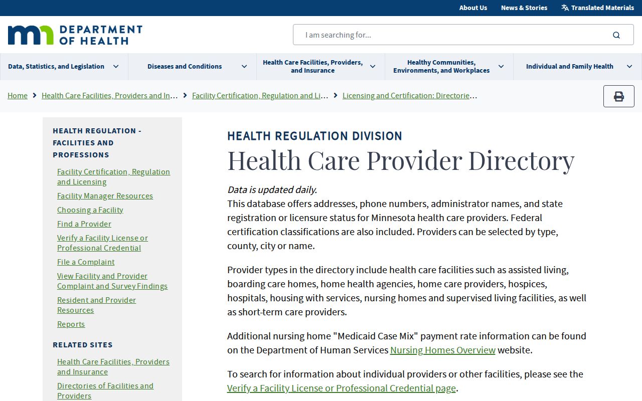
Those filters help distinguish a facility or provider result from a personal address claim.
The Minnesota Medical Practice search includes city and ZIP among its verified search options.
Use a license result only for the professional record it describes, and corroborate a location with the correct public custodian.
Find a Chanhassen Record by ZIP Code
A ZIP code directory is most useful as a routing step. It helps preserve an address in the form used by the postal system before a search moves to the map, parcel, or records office. Do not begin with a ZIP alone and convert the result into a roster of people. The official channels are designed for a specific parcel, a person's own voter-registration check, a professional record, or a defined records request.
- Check the full printed address against the appropriate USPS facility context, preserving the street, unit, ZIP, and postal city.
- Use the City ZIP map for orientation, then search Carver GIS by full address, property ID, or addition and plat name.
- Record the parcel ID, legal description, situs address, postal community, county, and retrieval date from the selected result.
- For the Hennepin-side edge or an unclear boundary, verify the county before contacting a records custodian.
- Use an official search only for its stated purpose, and request existing public data through the responsible office when a defined record is needed.
Once the ZIP has narrowed an address to a particular street and parcel, the Chanhassen street directory has the fuller address-keyed record workflow. Keep the original postal form alongside any normalized street form so a later search can reproduce both.
Note: A failed result for one postal-city spelling may call for a separate Chaska or Excelsior comparison, not an assumption that the address is outside Chanhassen.
Chanhassen ZIP Code Boundaries and City Limits
ZIP, municipality, county, school district, watershed district, and voting precinct can all cut across different lines. Chanhassen's 154-acre Hennepin County portion is an independent check on top of the postal mismatch. A record requester should identify the actual parcel before choosing Carver or Hennepin. The city boundary is a civic jurisdiction; the postal city is the label used for mail; neither replaces the parcel's legal location.
For a disputed edge, keep the raw address, normalized street number and suffix, unit, ZIP, ZIP+4, postal city, municipal city, county, and parcel ID in the same research note. Carver GIS can help locate a parcel, while the City ZIP map supplies a broader boundary view. The research did not identify an official parcel-level ZIP export or a single cross-county boundary tool, so each uncertain address needs a manual check rather than a bulk assumption.
- ZIP
- A postal-routing code. It helps direct mail but does not define a city or county boundary.
- ZIP+4
- An added postal delivery segment. Preserve it when a source displays it, but do not treat it as a municipal identifier.
- PO Box ZIP
- A code used for post-office boxes. It does not establish where a box holder lives.
- Unique ZIP
- A code assigned to a single organization or destination. No such Chanhassen ZIP was identified in the research.
- Carrier route
- A postal delivery grouping, not a resident record or a substitute for parcel boundaries.
Limits of a Chanhassen ZIP Code Directory
A ZIP code can verify geography and address formatting, not a person's identity or occupancy. A parcel taxpayer, a directory entry, a permit contact, a court party, a voter registration, and a license holder each supports a different relationship. Retain the exact role shown by the record. If a name must be matched to a location, use a second independent custodian and a date that fits the question.
City and county records remain available through their proper access channels. The Chanhassen City Clerk data-request route is the municipal fallback for a defined city record, while county parcel and land-record research belongs with the confirmed county. A request should describe existing records, the address or date range, and whether inspection or copies are wanted.
Chanhassen Postal Labels Change Searches
Search history can be affected by a changing road name or postal label. The City's July 2026 news noted a West 94th Street right-of-way vacation and an address requirement for 600 West 94th Street to receive a Kiowa Trail address. That is a reminder to preserve both the original address string and the later normalized version. A zero result can reflect a different label, an uninspected map layer, or a limited portal rather than proof that no record exists.
For historical work, compare the address with CCHS plat maps, newspapers, and the legal description rather than assuming a modern road follows an old route. CCHS lists plats from 1874, 1880, 1898, 1911, 1916, and 1927, plus material from the 1940s forward. A former farm or subdivision name can explain why two sources use different address strings. Chanhassen's map resources also include street, voting-precinct, school-district, land-use, zoning, park, trail, public-facility, electric, and crime layers. Each layer answers a geographic question only, and its date should be saved with the result. Write down the source URL, map date, portal limitation, and retrieval date. That record trail is more useful than a ZIP-only result because it can be checked by the next researcher.